Vatnajökull National Park, Iceland
Jökulsárlón Glacier Lagoon
Icebergs, seals and a retreating glacier along Iceland's Ring Road
- About 25 km²Lagoon surface area
- 14,967 km²Vatnajökull National Park
- About 75 kmDistance from Höfn town
Overview
The southern region of Vatnajökull National Park, in southeast Iceland, is where Jökulsárlón is found, along Ring Road No. 1. Route 1, the Ring Road, crosses the lake, and the lagoon has parking facilities for visitors.
The lagoon's surface lies at sea level and covers about 25 square kilometres. From the ocean's edge, the glacier front is some 8 km away.
Why visit
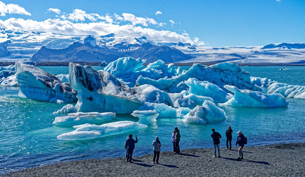
- Milky white and bright blue are the two shades of the lagoon's icebergs, varying with trapped air in the ice.
- Of the mass Breiðamerkurjökull loses, about one third goes through calving into Jökulsárlón.
- Winter brings large numbers of seals to the lagoon's mouth, where they catch fish.
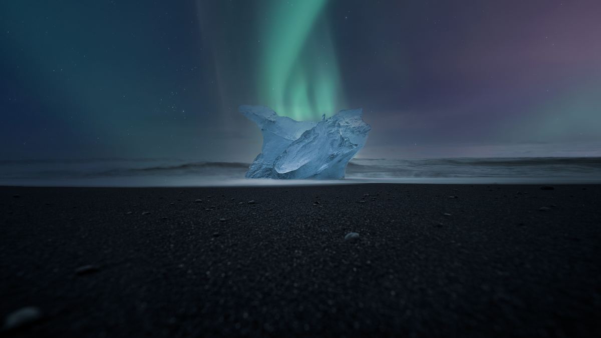
- Diamond Beach, as the black sand beach next to the lagoon is often called, holds large blocks of icebergs.
- Eystri-Fellsfjara is the official name of that beach.
Tours on the lagoon
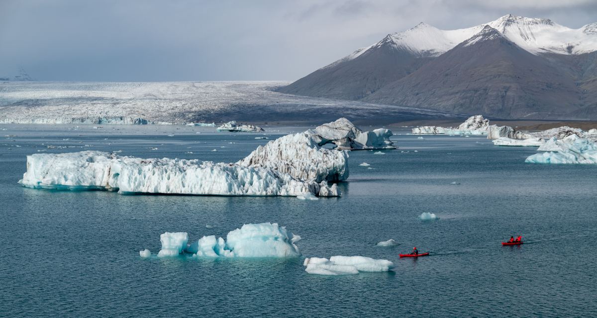
Boats and kayaks both feature in the lagoon tour offering, which comes from several different companies. Commercial boat tours on the lagoon began in 1985, and the boat tour company has carried 60,000 to 70,000 passengers annually in recent years. The lagoon parking lot is the departure point for ice cave tours, which run in winter.
Tours and activities
How the lagoon formed
The lagoon started to form in the 1930s, around 1934–35, when the Breiðamerkurjökull glacier tongue retreated. That retreat began in the late 19th century, and the lagoon developed into a lake once it was under way.
Earlier positions of the ice are also stated.
Over the 20th century Breiðamerkurjökull retreated a total of 5.6 km.
Size and depth
| Measure | Value |
|---|---|
| Surface area today | About 25 km² |
| Surface area in 1975 | About 8 km² |
| Surface area by 2004 | 17.5 km² |
| Change in size since the 1970s | Fourfold increase |
| Average depth | Roughly 153 m |
| Depth reported in 2009 | Over 284 m |
| Surface elevation | Sea level (0 m) |
Jökulsárlón was reported in 2009 to be Iceland's deepest lake, at over 284 metres, while its average depth is roughly 153 metres. Starting from about 8 square kilometres in 1975, the area reached 17.5 km² by 2004 and is about 25 square kilometres today.
A protected landscape
Vatnajökull National Park, which now includes Jökulsárlón, covers 14,967 square kilometres, about 14% of Iceland. The park was inscribed as a UNESCO World Heritage Site on 5 July 2019.
The year 2017 is the date attached to the lagoon's land. Breiðamerkursandur, the outwash plain that includes Jökulsárlón, became part of Vatnajökull National Park then. Land around Jökulsárlón, including the farm Fell, was protected as part of the park that year, and the Icelandic State bought Fell and protected it as part of the park.
Breiðamerkursandur and its birds
West of the town of Höfn, within the municipality of Hornafjörður, lies Breiðamerkursandur, the area that contains Jökulsárlón. Breiðársandur is the older name of Breiðamerkursandur, which lies between the rivers Kvíá and Fellsá.
Gravel piled up by glaciers that reached the lowlands during the Little Ice Age forms the outwash plain. River action and jökulhlaups, the glacial outburst floods from subglacial eruptions, built the coastal plain. As a breeding ground for birds, the outwash plain beside the lagoon is an important one.
Walks and trails
On foot, visitors can explore the Jökulsárlón area along hiking trails. Free educational walks run through the summer months, led by park rangers for park visitors, and rangers are on duty in the Jökulsárlón area all year round. In summer, great skuas nest on the lake's shores and do not tolerate people close to their nests.
Rain, wind and temperatures
Exposure to Atlantic storms marks the South Coast, which tends to be wetter and windier than northern Iceland and the Eastfjords. Annual precipitation at Höfn comes to approximately 1,450 mm. Temperatures rarely fall below −10 °C during the mild winters of the Vatnajökull National Park area. Around 1 °C is the winter average across the southern lowlands near the Icelandic coast, and in Höfn, winter daytime highs stay just above freezing.
Daylight, highlands and traffic
June days in Reykjavík bring around 20–21 hours of daylight. Continuous daylight for around two weeks in summer is the pattern across most of Iceland outside Grímsey. The Highlands' F-roads typically open between late June and early July, and on the Ring Road, summer traffic is often double the winter level or more.
When to go
Between May and mid-August, large puffin nesting colonies form along the South Coast and the Westfjords. July in southern Iceland averages 10–13 °C, and ice cave tours belong to the winter season.
Seasons
How to get there
Flights do not serve mainland South Iceland, domestic or international; the eastern half is reached by flying from Reykjavík to Höfn, which is close to Jökulsárlón. The international airport for the Reykjavík area is at Keflavík, west of South Iceland. Between 2007 and 2024, Eagle Air ran the service to Hornafjörður Airport.
Höfn town is about 75 km from the lagoon, which lies to its west along Route 1. Skaftafell is about 60 km away, with the lagoon east of it. Reykjavík is a little over 450 km from Höfn. Schedules of Ring Road public transport, which runs year-round, can be unpredictable outside the summer months.
Routes
The Ring Road
The Ring Road (Route 1) is 1,309 km long in total, and Visit Iceland recommends at least 7 days to travel all of it. The speed limit on open sections is 90 km/h.
In winter, Route 1 has the highest priority for snow removal, and before driving the Ring Road in winter, drivers should check road conditions with the Icelandic Road Administration.
Where to stay
Farms across the Höfn area take in guests, and hotels and camping sites are also among the area's visitor services. Signs by the road showing a picture of a bed mark accommodation around Höfn. Central Höfn holds Guesthouse Hvammur, with 30 rooms in single, double, triple and family types.
From Jökulsárlón, Brunnhóll guesthouse on highway no. 1 is about 50 km east, and Höfn is 30 km beyond it. Brunnhóll's capacity is up to 80 people, spread across single, double/twin, triple and family rooms that each have their own bathroom. Its season runs from 1 February to 31 October, with another opening around Christmas.
At the foot of Öræfajökull stands Adventure Hotel Hof, rated three stars. Accommodation close to the Glacier Lagoon is listed at Gerði Guesthouse.
Skaftafell campground
- The campground is open all year.
- It has room for about 400 tents.
- One part of the campground is reserved for campers and camping trailers and has electricity.
- Flush toilets are available in the campground area.
Lodging
Questions about the lagoon
Which road crosses the lagoon?
Route 1, the Ring Road, runs across the lake, and visitors are provided with parking at the lagoon.
What distances separate the lagoon from Höfn and Skaftafell?
Höfn town is about 75 km from the lagoon, with the lagoon to its west. Skaftafell is about 60 km away, and the lagoon lies east of it.
How large is the lagoon?
Its area is about 25 square kilometres today. It was about 8 square kilometres in 1975 and 17.5 km² by 2004.
How deep is the lagoon?
Its average depth is roughly 153 metres. A 2009 report gave over 284 metres and called it Iceland's deepest lake.
When did the lagoon form?
It started to form in the 1930s, around 1934–35, as the Breiðamerkurjökull glacier tongue retreated. That retreat began in the late 19th century.
When did the land around the lagoon become part of the national park?
Breiðamerkursandur became part of Vatnajökull National Park in 2017, the year Fell, the land including Jökulsárlón, was bought by the Icelandic State and protected. The park itself was inscribed as a UNESCO World Heritage Site on 5 July 2019.
When do ice cave tours run?
Ice cave tours run in winter and depart from the lagoon parking lot.
Is advance booking possible at the Skaftafell campground?
Pitches there are not reservable ahead of time. The campground is open all year and has room for about 400 tents.
Find a tour at the lagoon
Browse toursSources
- Jökulsárlón - Wikipedia
- Vatnajökull National Park - Wikipedia
- South Iceland's Dynamic Geosites: Geysers, Glaciers, Rifts, and Rumbling Volcanoes | Visit Iceland
- Glaciological research - Vatnajökull National Park
- Breiðamerkurjökull - Wikipedia
- Breiðamerkursandur - Vatnajökull National Park
- Breiðamerkursandur - Wikipedia
- Iceland Summer Weather & Travel | Visit Iceland | Visit Iceland
- Höfn
- Climate of Iceland
- Route 1 (Iceland)
- South Iceland
- Hornafjörður Airport
- Höfn – Wikivoyage
- Iceland's Ring Road | Visit Iceland
- East Iceland
- HÖFN | Visit South Iceland
- Guesthouse Hvammur | Visit Iceland
- Brunnholl | Visit Iceland
- Accommodation in South Iceland | Visit Iceland
- Skaftafell campground - Vatnajökull National Park